
Amplify Your Urban Voice
Creative branding and digital marketing solutions that resonate with the pulse of the city

About Us
Where Creativity Meets Urban Innovation
Urban Echo is a creative agency born from the energy and diversity of city life. We specialize in helping urban businesses and startups amplify their brand voice in the digital landscape.
Our team combines strategic thinking with creative execution to deliver campaigns that don't just reach audiences—they resonate with them. We understand the pulse of urban culture and translate that insight into compelling brand experiences.
From innovative startups to established city-based businesses, we partner with brands that are ready to make their mark and create lasting connections with their communities.
Our Services
Comprehensive Solutions for Urban Brands
From concept to execution, we deliver creative services that elevate your brand in the urban marketplace

Urban Branding
Creative branding solutions for city-based businesses and startups.

Digital Marketing
Strategic campaigns for social media, online presence, and engagement.

Content Creation
Photography, videography, and multimedia content for urban audiences.
Event Promotion
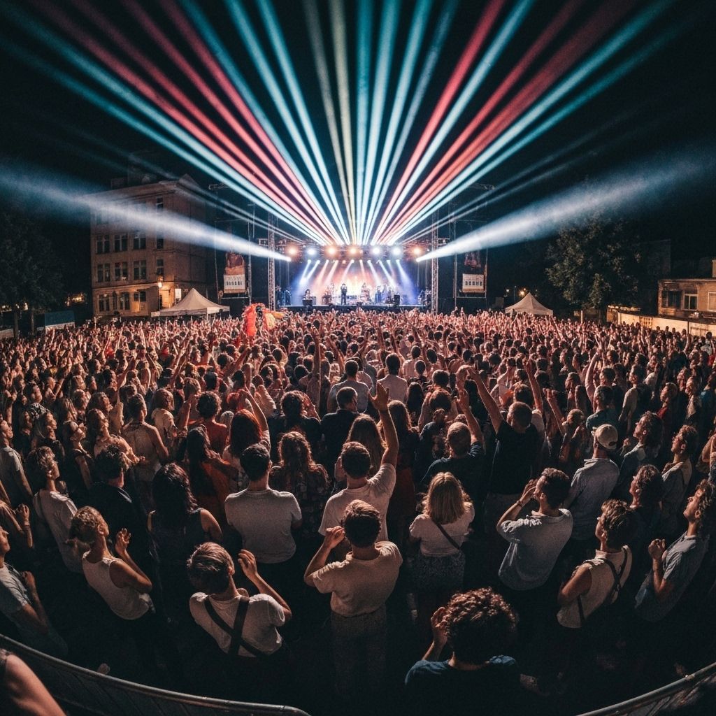
Marketing support for urban events, product launches, and community campaigns.
Get in Touch
Let's Create Something Amazing Together
Ready to amplify your urban brand? Reach out and let's start a conversation about your next project.
Join the urban revolution • Amplify your voice • Create lasting impact